Along St James Place
Introduction
The photograph on this page of Along St James Place by Neil Owen as part of the Geograph project.
The Geograph project started in 2005 with the aim of publishing, organising and preserving representative images for every square kilometre of Great Britain, Ireland and the Isle of Man.

There are currently over 7.5m images from over 14,400 individuals and you can help contribute to the project by visiting https://www.geograph.org.uk
Along St James Place
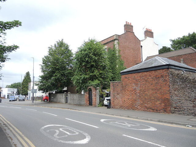
Image: © Neil Owen Taken: 24 Jun 2021
Looking northwards to the ancient triangle at the heart of Mangotsfield. The old brick buildings were once associated with the vicarage of St James church. On the wall is a benchmark - see Image
Images are licensed for reuse under creativecommons.org/licenses/by-sa/2.0
Image Location
Latitude
51.482311
Longitude
-2.484676