Downland, Lower Upham
Introduction
The photograph on this page of Downland, Lower Upham by Andrew Smith as part of the Geograph project.
The Geograph project started in 2005 with the aim of publishing, organising and preserving representative images for every square kilometre of Great Britain, Ireland and the Isle of Man.

There are currently over 7.5m images from over 14,400 individuals and you can help contribute to the project by visiting https://www.geograph.org.uk
Downland, Lower Upham
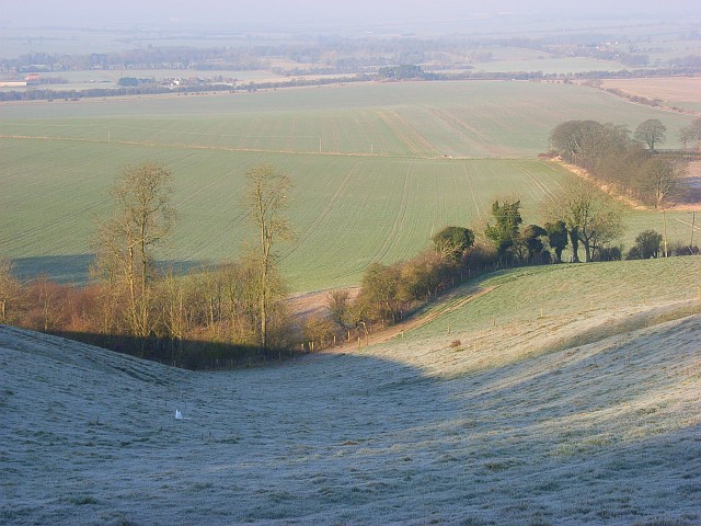
Image: © Andrew Smith Taken: 16 Feb 2008
Looking down from beside the Ridgeway across expansive arable fields that occupy the valley south of Chiseldon. Little of the arable land is within this grid-square.
Images are licensed for reuse under creativecommons.org/licenses/by-sa/2.0
Image Location


Leaflet Map data © OpenStreetMap
Latitude
51.494253
Longitude
-1.69746