Old Milestone, A46
Introduction
The photograph on this page of Old Milestone, A46 by Mr Red as part of the Geograph project.
The Geograph project started in 2005 with the aim of publishing, organising and preserving representative images for every square kilometre of Great Britain, Ireland and the Isle of Man.

There are currently over 7.5m images from over 14,400 individuals and you can help contribute to the project by visiting https://www.geograph.org.uk
Old Milestone, A46
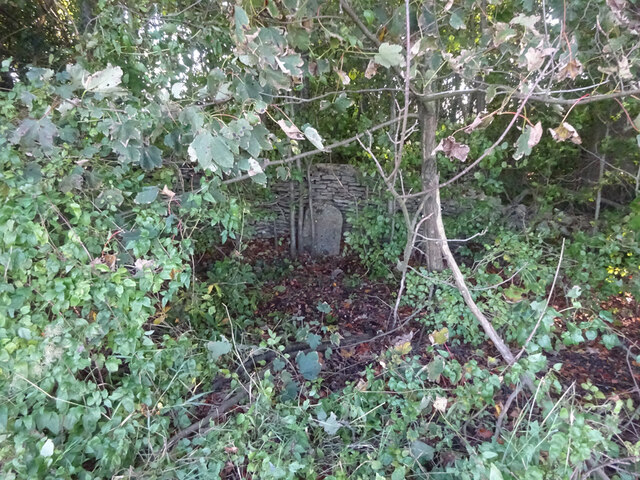
Image: © Mr Red Taken: 21 Oct 2021
In the parish of Hawkesbury, just SE of the entrance to Saddlewood Manor. Well hidden in the trees, against the wall. Rivet BM representing 173.2 m ASL. Inscription (was): Gloucester 21 / Bath 17 Milestone Society National ID: GL_BAGL17
Images are licensed for reuse under creativecommons.org/licenses/by-sa/2.0
Image Location
Latitude
51.605701
Longitude
-2.284412