Meanwood, Monkbridge Road
Introduction
The photograph on this page of Meanwood, Monkbridge Road by Mel Towler as part of the Geograph project.
The Geograph project started in 2005 with the aim of publishing, organising and preserving representative images for every square kilometre of Great Britain, Ireland and the Isle of Man.

There are currently over 7.5m images from over 14,400 individuals and you can help contribute to the project by visiting https://www.geograph.org.uk
Meanwood, Monkbridge Road
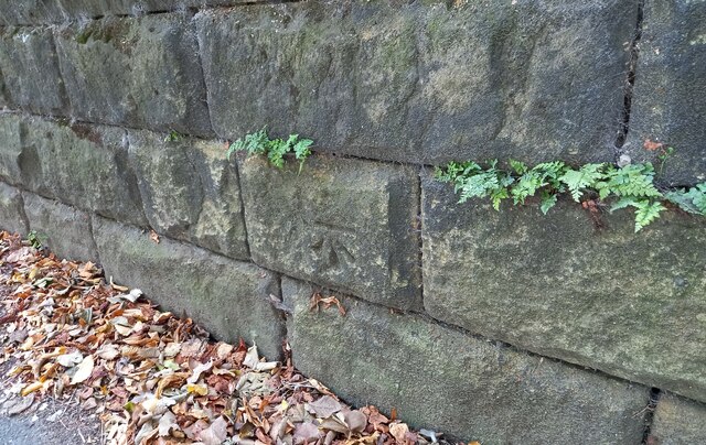
Image: © Mel Towler Taken: 18 Sep 2021
This roadside wall is on the south side of Monkbridge Road and is the boundary wall to number 18. The benchmark is cut into the 2nd course of stone and remains in very good condition.
Images are licensed for reuse under creativecommons.org/licenses/by-sa/2.0
Image Location
Latitude
53.825807
Longitude
-1.572616