Old Boundary Marker on the A35 in Poole
Introduction
The photograph on this page of Old Boundary Marker on the A35 in Poole by M Faherty as part of the Geograph project.
The Geograph project started in 2005 with the aim of publishing, organising and preserving representative images for every square kilometre of Great Britain, Ireland and the Isle of Man.

There are currently over 7.5m images from over 14,400 individuals and you can help contribute to the project by visiting https://www.geograph.org.uk
Old Boundary Marker on the A35 in Poole
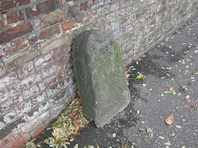
Image: © M Faherty Taken: 19 Oct 2006
Parish Boundary Marker against a brick wall on the south side of the A35 Poole Road, Poole. On the former boundary of Parkstone and Kinson parishes. Milestone Society National ID: DO_PO03pb
Images are licensed for reuse under creativecommons.org/licenses/by-sa/2.0
Image Location
Latitude
50.725078
Longitude
-1.912522