Former site of Ditchford Mill
Introduction
The photograph on this page of Former site of Ditchford Mill by David Dixon as part of the Geograph project.
The Geograph project started in 2005 with the aim of publishing, organising and preserving representative images for every square kilometre of Great Britain, Ireland and the Isle of Man.

There are currently over 7.5m images from over 14,400 individuals and you can help contribute to the project by visiting https://www.geograph.org.uk
Former site of Ditchford Mill
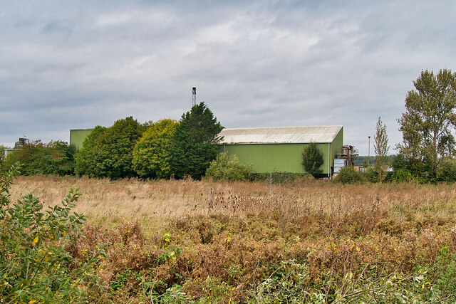
Image: © David Dixon Taken: 18 Oct 2021
Now used by Hornigold Haulage, maps prior to show this as the site of Ditchford Mill (a corn mill). After 1975, it is shown on maps as "works".
Images are licensed for reuse under creativecommons.org/licenses/by-sa/2.0
Image Location


Leaflet Map data © OpenStreetMap
Latitude
52.303714
Longitude
-0.639107