Former Methodist Sunday School, Sandbach
Introduction
The photograph on this page of Former Methodist Sunday School, Sandbach by Stephen Craven as part of the Geograph project.
The Geograph project started in 2005 with the aim of publishing, organising and preserving representative images for every square kilometre of Great Britain, Ireland and the Isle of Man.

There are currently over 7.5m images from over 14,400 individuals and you can help contribute to the project by visiting https://www.geograph.org.uk
Former Methodist Sunday School, Sandbach
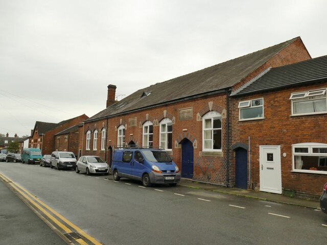
Image: © Stephen Craven Taken: 17 Oct 2021
This side of the building on Chapel Street bears the legend 'Wesleyan Sunday Schools' and the date 1871; it is grade II listed along with the church to which it belonged Image In 2006 it was refurbished and extended to form the Wesley Centre, now approached from the other side Image
Images are licensed for reuse under creativecommons.org/licenses/by-sa/2.0
Image Location
Latitude
53.145219
Longitude
-2.366549