Heading for Scroggs
Introduction
The photograph on this page of Heading for Scroggs by Ian Paterson as part of the Geograph project.
The Geograph project started in 2005 with the aim of publishing, organising and preserving representative images for every square kilometre of Great Britain, Ireland and the Isle of Man.

There are currently over 7.5m images from over 14,400 individuals and you can help contribute to the project by visiting https://www.geograph.org.uk
Heading for Scroggs
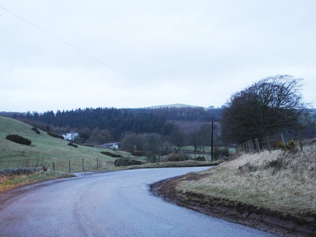
Image: © Ian Paterson Taken: 21 Feb 2008
Scroggs is the name for the settlement at the foot of the hill, where Scroggs Bridge takes the road across the Water of Milk.
Images are licensed for reuse under creativecommons.org/licenses/by-sa/2.0
Image Location
Latitude
55.115777
Longitude
-3.312051