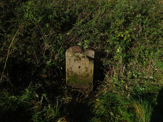
Old Milestone, A433
Introduction
The photograph on this page of Old Milestone, A433 by Mr Red as part of the Geograph project.
The Geograph project started in 2005 with the aim of publishing, organising and preserving representative images for every square kilometre of Great Britain, Ireland and the Isle of Man.
There are currently over 7.5m images from over 14,400 individuals and you can help contribute to the project by visiting https://www.geograph.org.uk

Image: © Mr Red Taken: 21 Oct 2021
In the parish of Hawkesbury, on the Tetbury road. Set fairly close to the road, on the verge, The top of the milestone has broken off, seen here in its rightful position to highlight the small tympanum that would have been the feature of the plate. There are marks that could have been an inscription additional to the plate. They were not meaningful. (for an example of what the plate looked like see Image). Cut Benchmark on the SW face, 157.5 m ASL. Plate Inscription (was): Cirenᴿ / 17 / Tetbury / 7 / Bath / 16 Milestone Society ID: GL_CIBA17

