OS Flush Bracket 12050 - Limekilns Cottage
Introduction
The photograph on this page of OS Flush Bracket 12050 - Limekilns Cottage by thejackrustles as part of the Geograph project.
The Geograph project started in 2005 with the aim of publishing, organising and preserving representative images for every square kilometre of Great Britain, Ireland and the Isle of Man.

There are currently over 7.5m images from over 14,400 individuals and you can help contribute to the project by visiting https://www.geograph.org.uk
OS Flush Bracket 12050 - Limekilns Cottage
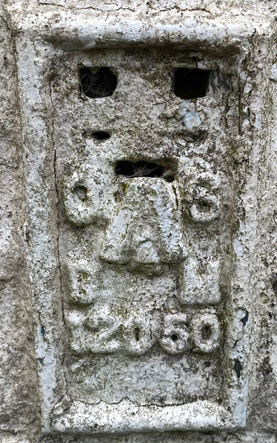
Image: © thejackrustles Taken: 7 Aug 2021
Very heavily overpainted. https://www.bench-marks.org.uk/bm323
Images are licensed for reuse under creativecommons.org/licenses/by-sa/2.0
Image Location


Leaflet Map data © OpenStreetMap
Latitude
55.016937
Longitude
-3.293806