Tram on Blackpool seafront
Introduction
The photograph on this page of Tram on Blackpool seafront by Malc McDonald as part of the Geograph project.
The Geograph project started in 2005 with the aim of publishing, organising and preserving representative images for every square kilometre of Great Britain, Ireland and the Isle of Man.

There are currently over 7.5m images from over 14,400 individuals and you can help contribute to the project by visiting https://www.geograph.org.uk
Tram on Blackpool seafront
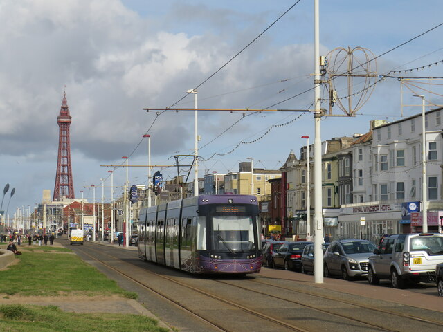
Image: © Malc McDonald Taken: 10 Oct 2021
A tramway runs the full length of Blackpool's seafront, from Starr Gate to Bispham, then continues to Cleveleys and Fleetwood. It forms an integral part of Blackpool's public transport system. Blackpool Tower stands tall in the background to this image.
Images are licensed for reuse under creativecommons.org/licenses/by-sa/2.0
Image Location


Leaflet Map data © OpenStreetMap
Latitude
53.805741
Longitude
-3.055613