Benchmark Trebarwith Farm
Introduction
The photograph on this page of Benchmark Trebarwith Farm by Tony Houlihan as part of the Geograph project.
The Geograph project started in 2005 with the aim of publishing, organising and preserving representative images for every square kilometre of Great Britain, Ireland and the Isle of Man.

There are currently over 7.5m images from over 14,400 individuals and you can help contribute to the project by visiting https://www.geograph.org.uk
Benchmark Trebarwith Farm
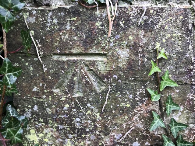
Image: © Tony Houlihan Taken: 19 Oct 2021
CUT BENCHMARK OUTBLDG TREBARWITH FM 0.1M N ANG NW FACE SE SIDE RD Over Datum Newlyn = 105.998m - Last verified 1974 - Above Ground Level 0.8m https://www.bench-marks.org.uk/bm157313
Images are licensed for reuse under creativecommons.org/licenses/by-sa/2.0
Image Location


Leaflet Map data © OpenStreetMap
Latitude
50.641972
Longitude
-4.750488