Flagg from Mycock Lane
Introduction
The photograph on this page of Flagg from Mycock Lane by Bill Boaden as part of the Geograph project.
The Geograph project started in 2005 with the aim of publishing, organising and preserving representative images for every square kilometre of Great Britain, Ireland and the Isle of Man.

There are currently over 7.5m images from over 14,400 individuals and you can help contribute to the project by visiting https://www.geograph.org.uk
Flagg from Mycock Lane
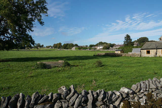
Image: © Bill Boaden Taken: 6 Oct 2021
Flagg lines the north eastern side of Main Road, and this is looking up from the bottom of the village.
Images are licensed for reuse under creativecommons.org/licenses/by-sa/2.0
Image Location
Latitude
53.212942
Longitude
-1.799306