River Burn Ford
Introduction
The photograph on this page of River Burn Ford by John Walton as part of the Geograph project.
The Geograph project started in 2005 with the aim of publishing, organising and preserving representative images for every square kilometre of Great Britain, Ireland and the Isle of Man.

There are currently over 7.5m images from over 14,400 individuals and you can help contribute to the project by visiting https://www.geograph.org.uk
River Burn Ford
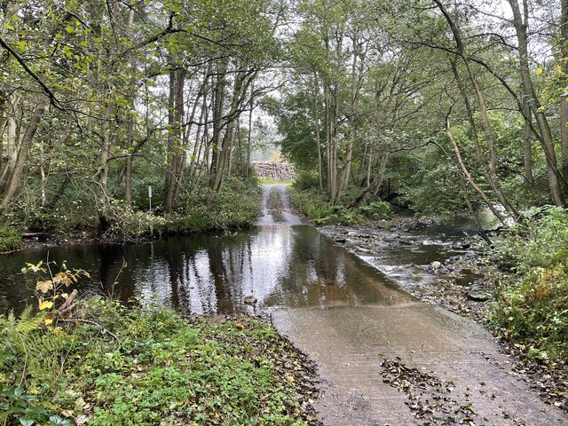
Image: © John Walton Taken: 18 Oct 2021
This is the first of two fords on the River Burn within the Swinton Estate. This one is close to the Saw Mill.
Images are licensed for reuse under creativecommons.org/licenses/by-sa/2.0
Image Location
Latitude
54.21667
Longitude
-1.722249