Mangotsfield and Castle Green U.R. church
Introduction
The photograph on this page of Mangotsfield and Castle Green U.R. church by Neil Owen as part of the Geograph project.
The Geograph project started in 2005 with the aim of publishing, organising and preserving representative images for every square kilometre of Great Britain, Ireland and the Isle of Man.

There are currently over 7.5m images from over 14,400 individuals and you can help contribute to the project by visiting https://www.geograph.org.uk
Mangotsfield and Castle Green U.R. church
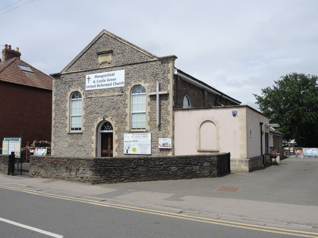
Image: © Neil Owen Taken: 24 Jun 2021
The church has been here almost as long as the rest of the street; it was founded in 1827 and enlarged in 1853. It was formerly a Congregational tabernacle and sunday school.
Images are licensed for reuse under creativecommons.org/licenses/by-sa/2.0
Image Location
Latitude
51.483484
Longitude
-2.483681