Nos. 36b and 36a Greystone Road at NW end of Melbourne Road
Introduction
The photograph on this page of Nos. 36b and 36a Greystone Road at NW end of Melbourne Road by Roger Templeman as part of the Geograph project.
The Geograph project started in 2005 with the aim of publishing, organising and preserving representative images for every square kilometre of Great Britain, Ireland and the Isle of Man.

There are currently over 7.5m images from over 14,400 individuals and you can help contribute to the project by visiting https://www.geograph.org.uk
Nos. 36b and 36a Greystone Road at NW end of Melbourne Road
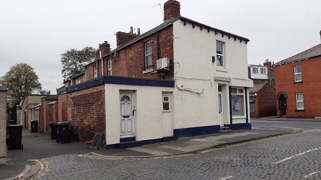
Image: © Roger Templeman Taken: 16 Oct 2021
Ordnance Survey documents indicate that a benchmark levelled at 18.748m above Newlyn Datum was verified in 1972 at the junction of the two houses referred to as No. 2 Melbourne Road. See www.bench-marks.org.uk/bm115906
Images are licensed for reuse under creativecommons.org/licenses/by-sa/2.0
Image Location
Latitude
54.890219
Longitude
-2.918994