Path through the village churchyard, Wolvesnewton
Introduction
The photograph on this page of Path through the village churchyard, Wolvesnewton by Jaggery as part of the Geograph project.
The Geograph project started in 2005 with the aim of publishing, organising and preserving representative images for every square kilometre of Great Britain, Ireland and the Isle of Man.

There are currently over 7.5m images from over 14,400 individuals and you can help contribute to the project by visiting https://www.geograph.org.uk
Path through the village churchyard, Wolvesnewton
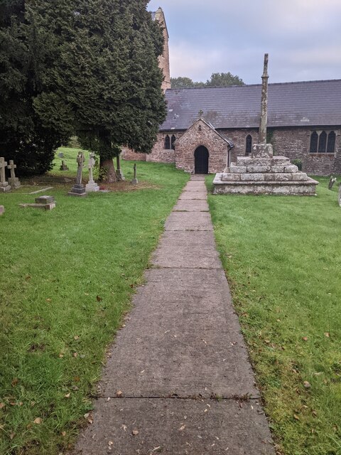
Image: © Jaggery Taken: 10 Oct 2021
Both the churchyard cross https://www.geograph.org.uk/photo/6993626 and the Church of St Thomas a Becket https://www.geograph.org.uk/photo/6993622 are Grade II (star) Listed.
Images are licensed for reuse under creativecommons.org/licenses/by-sa/2.0
Image Location
Latitude
51.693922
Longitude
-2.791193