Turnaround area by Cwm Lleidi Reservoir
Introduction
The photograph on this page of Turnaround area by Cwm Lleidi Reservoir by M J Roscoe as part of the Geograph project.
The Geograph project started in 2005 with the aim of publishing, organising and preserving representative images for every square kilometre of Great Britain, Ireland and the Isle of Man.

There are currently over 7.5m images from over 14,400 individuals and you can help contribute to the project by visiting https://www.geograph.org.uk
Turnaround area by Cwm Lleidi Reservoir
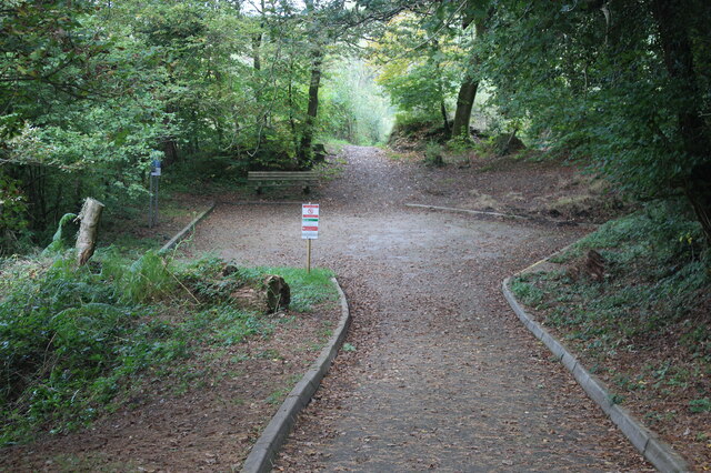
Image: © M J Roscoe Taken: 15 Oct 2021
This area and the road were uncovered at the end of last year. The start of a footpath on the east bank of the reservoir is next to the bench.
Images are licensed for reuse under creativecommons.org/licenses/by-sa/2.0
Image Location
Latitude
51.708024
Longitude
-4.144839