Sunken Track to the North of Tanhurst in the Surrey Hills.
Introduction
The photograph on this page of Sunken Track to the North of Tanhurst in the Surrey Hills. by Pete Chapman as part of the Geograph project.
The Geograph project started in 2005 with the aim of publishing, organising and preserving representative images for every square kilometre of Great Britain, Ireland and the Isle of Man.

There are currently over 7.5m images from over 14,400 individuals and you can help contribute to the project by visiting https://www.geograph.org.uk
Sunken Track to the North of Tanhurst in the Surrey Hills.
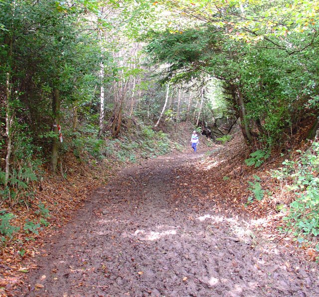
Image: © Pete Chapman Taken: 23 Oct 2005
Sunken Roads are a common feature in the Surrey Hills, where many years of use have eroded the course of the route deep into the soft sandstone. This example is still only a muddy track and provides access from the N to the house of Tanhurst (see Image)
Images are licensed for reuse under creativecommons.org/licenses/by-sa/2.0
Image Location


Leaflet Map data © OpenStreetMap
Latitude
51.175122
Longitude
-0.387767