Oak tree in a field between Dial House Farm & Thickthorn Wood
Introduction
The photograph on this page of Oak tree in a field between Dial House Farm & Thickthorn Wood by A J Paxton as part of the Geograph project.
The Geograph project started in 2005 with the aim of publishing, organising and preserving representative images for every square kilometre of Great Britain, Ireland and the Isle of Man.

There are currently over 7.5m images from over 14,400 individuals and you can help contribute to the project by visiting https://www.geograph.org.uk
Oak tree in a field between Dial House Farm & Thickthorn Wood
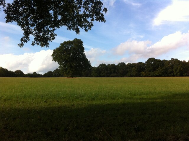
Image: © A J Paxton Taken: 16 Oct 2021
The isolated oak tree can be seen from the path that runs alongside the B4115 on its northwest side. A field boundary visible on older OS maps has now disappeared and this tree may have once stood in the hedge that has now gone. Thickthorn Wood is visible on the horizon at the right of the picture.
Images are licensed for reuse under creativecommons.org/licenses/by-sa/2.0
Image Location
Latitude
52.329338
Longitude
-1.558706