Hedge with embedded trig point
Introduction
The photograph on this page of Hedge with embedded trig point by Trevor Littlewood as part of the Geograph project.
The Geograph project started in 2005 with the aim of publishing, organising and preserving representative images for every square kilometre of Great Britain, Ireland and the Isle of Man.

There are currently over 7.5m images from over 14,400 individuals and you can help contribute to the project by visiting https://www.geograph.org.uk
Hedge with embedded trig point
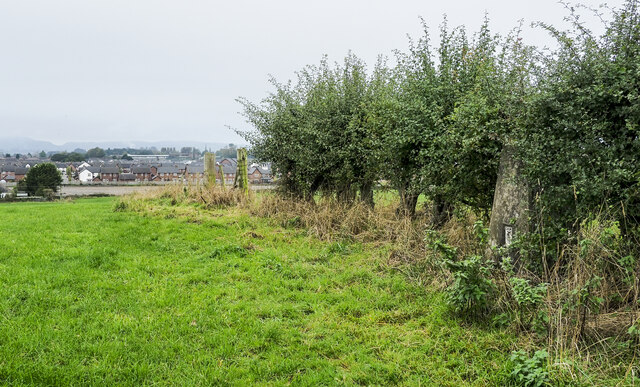
Image: © Trevor Littlewood Taken: 16 Oct 2021
The trig point is on Clumpton Hill in the line of an incomplete hedge dividing two grassed fields. It lies close to the north-eastern edge of Dumfries and houses of that part of the town can be seen in the distance.
Images are licensed for reuse under creativecommons.org/licenses/by-sa/2.0
Image Location
Latitude
55.079358
Longitude
-3.578885