Whittington Walk housing development, Worcester
Introduction
The photograph on this page of Whittington Walk housing development, Worcester by Chris Allen as part of the Geograph project.
The Geograph project started in 2005 with the aim of publishing, organising and preserving representative images for every square kilometre of Great Britain, Ireland and the Isle of Man.

There are currently over 7.5m images from over 14,400 individuals and you can help contribute to the project by visiting https://www.geograph.org.uk
Whittington Walk housing development, Worcester
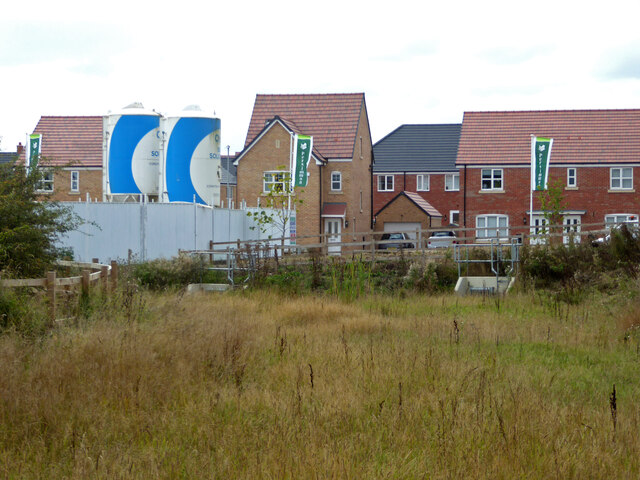
Image: © Chris Allen Taken: 25 Sep 2021
The houses in the background are finished and occupied but the complex is still growing and the silos remain in use. In the foreground is part of a sustainable urban drainage system (SUDS).
Images are licensed for reuse under creativecommons.org/licenses/by-sa/2.0
Image Location
Latitude
52.183041
Longitude
-2.173856