Well, Thornewidger
Introduction
The photograph on this page of Well, Thornewidger by Derek Harper as part of the Geograph project.
The Geograph project started in 2005 with the aim of publishing, organising and preserving representative images for every square kilometre of Great Britain, Ireland and the Isle of Man.

There are currently over 7.5m images from over 14,400 individuals and you can help contribute to the project by visiting https://www.geograph.org.uk
Well, Thornewidger
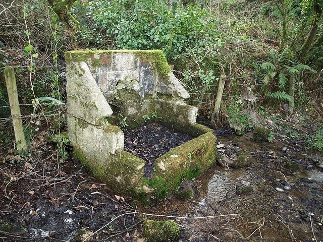
Image: © Derek Harper Taken: 16 Feb 2008
I assume this must be the feature shown on the maps as "well", beside the lane past Thornewidger, although it is a few yards east of the lane, down by the stream. It rather resembles a battered throne. Perhaps it is a drinking place and the well is somewhere behind it.
Images are licensed for reuse under creativecommons.org/licenses/by-sa/2.0
Image Location
Latitude
50.925484
Longitude
-4.247805