New housing estate, Old Mill Dam Lane, Queensbury
Introduction
The photograph on this page of New housing estate, Old Mill Dam Lane, Queensbury by Humphrey Bolton as part of the Geograph project.
The Geograph project started in 2005 with the aim of publishing, organising and preserving representative images for every square kilometre of Great Britain, Ireland and the Isle of Man.

There are currently over 7.5m images from over 14,400 individuals and you can help contribute to the project by visiting https://www.geograph.org.uk
New housing estate, Old Mill Dam Lane, Queensbury
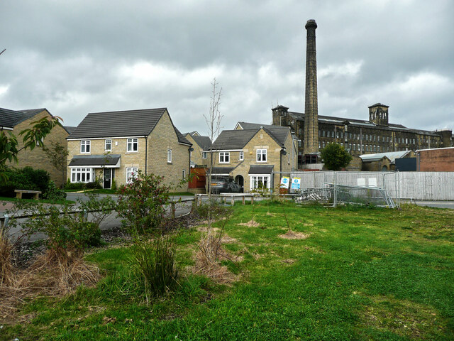
Image: © Humphrey Bolton Taken: 14 Oct 2021
This image was taken from an area of grass with a pond that didn't have much water in it. I suspect that it was made to take rainwater runoff from the estate. The grassy area could be an amenity area for the houses, but it seems strange that there is no way through the boundary wall to reach the public footpath on the other side. Black Dyke Mills are in the background.
Images are licensed for reuse under creativecommons.org/licenses/by-sa/2.0
Image Location


Leaflet Map data © OpenStreetMap
Latitude
53.765798
Longitude
-1.844317