Entrance drive to Brough Hill from A684
Introduction
The photograph on this page of Entrance drive to Brough Hill from A684 by Roger Templeman as part of the Geograph project.
The Geograph project started in 2005 with the aim of publishing, organising and preserving representative images for every square kilometre of Great Britain, Ireland and the Isle of Man.

There are currently over 7.5m images from over 14,400 individuals and you can help contribute to the project by visiting https://www.geograph.org.uk
Entrance drive to Brough Hill from A684
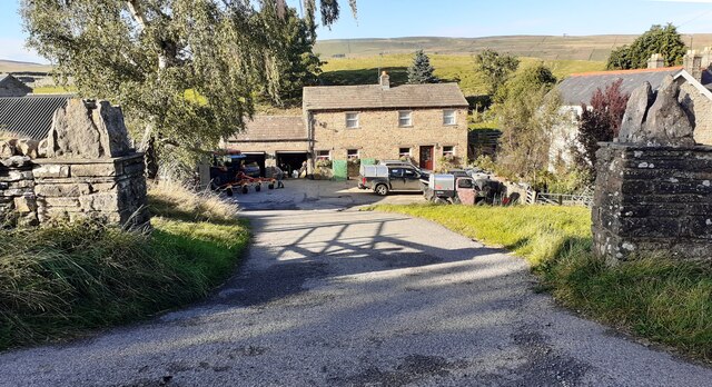
Image: © Roger Templeman Taken: 6 Oct 2021
Ordnance Survey records indicate that a benchmark was levelled at 751.720 feet above Liverpool Datum on a stone at the house gateway during the 1845 Kirkby Kendal to Thirsk 1GL Survey. The surveyor's description was 'No. 91. Mark on stone at gate to Brough-hill House ; 0.59 ft. above surface'. The entrance and buildings have probably changed since then.
Images are licensed for reuse under creativecommons.org/licenses/by-sa/2.0
Image Location


Leaflet Map data © OpenStreetMap
Latitude
54.305927
Longitude
-2.092943