West Bridgford
Introduction
The photograph on this page of West Bridgford by Alan Murray-Rust as part of the Geograph project.
The Geograph project started in 2005 with the aim of publishing, organising and preserving representative images for every square kilometre of Great Britain, Ireland and the Isle of Man.

There are currently over 7.5m images from over 14,400 individuals and you can help contribute to the project by visiting https://www.geograph.org.uk
West Bridgford
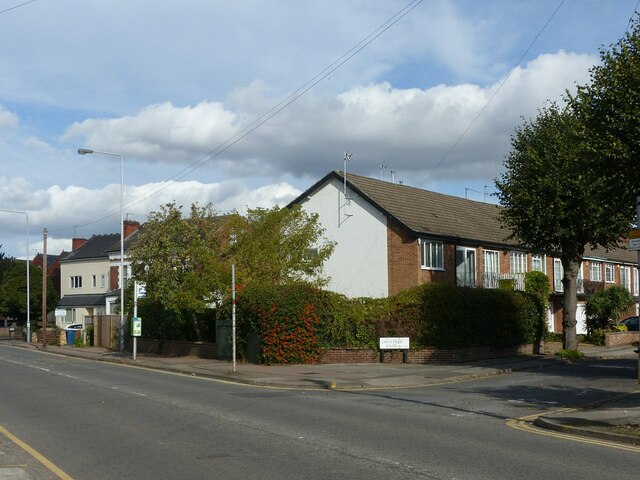
Image: © Alan Murray-Rust Taken: 10 Oct 2021
Recreating this 'First' for the square https://www.geograph.org.uk/photo/96395 , complete with the same minimal title. This is Loughborough Road at the junction of Chantrey Road.
Images are licensed for reuse under creativecommons.org/licenses/by-sa/2.0
Image Location


Leaflet Map data © OpenStreetMap
Latitude
52.928447
Longitude
-1.137748