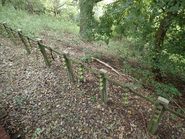
Evidence of the former Underground line
Introduction
The photograph on this page of Evidence of the former Underground line by Marathon as part of the Geograph project.
The Geograph project started in 2005 with the aim of publishing, organising and preserving representative images for every square kilometre of Great Britain, Ireland and the Isle of Man.
There are currently over 7.5m images from over 14,400 individuals and you can help contribute to the project by visiting https://www.geograph.org.uk

Image: © Marathon Taken: 8 Oct 2021
This is the view from a train on the Epping Ongar Heritage Railway at the point where trains return to North Weald station. It is just 100 metres between the end of the Epping Ongar running line and the end of the Central Line. The fact that the line was electrified between 1957 and its closure in 1994 can be seen in artefacts as here. For more about the history of the line see https://www.eorailway.co.uk/the-railway/history/ and https://www.geograph.org.uk/photo/4386768 which has a photograph of the link now between the Central line and the Epping Ongar Railway.

