Higher East Street near Jubilee Gardens and Broad Close
Introduction
The photograph on this page of Higher East Street near Jubilee Gardens and Broad Close by Roger A Smith as part of the Geograph project.
The Geograph project started in 2005 with the aim of publishing, organising and preserving representative images for every square kilometre of Great Britain, Ireland and the Isle of Man.

There are currently over 7.5m images from over 14,400 individuals and you can help contribute to the project by visiting https://www.geograph.org.uk
Higher East Street near Jubilee Gardens and Broad Close
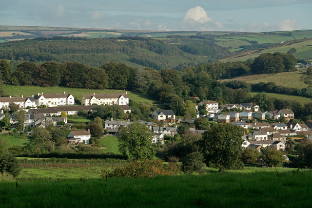
Image: © Roger A Smith Taken: 10 Oct 2021
Across the moor and over the horizon is Simonsbath.
Images are licensed for reuse under creativecommons.org/licenses/by-sa/2.0
Image Location


Leaflet Map data © OpenStreetMap
Latitude
51.053232
Longitude
-3.799092