Old mill lade
Introduction
The photograph on this page of Old mill lade by Richard Sutcliffe as part of the Geograph project.
The Geograph project started in 2005 with the aim of publishing, organising and preserving representative images for every square kilometre of Great Britain, Ireland and the Isle of Man.

There are currently over 7.5m images from over 14,400 individuals and you can help contribute to the project by visiting https://www.geograph.org.uk
Old mill lade
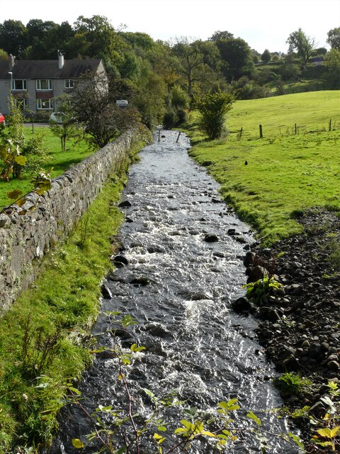
Image: © Richard Sutcliffe Taken: 10 Oct 2021
This lade brings water from the Mill Dam (about 500m to the south). The water originally fed Milndavie Mill (a corn mill, but also a sawmill from the 1870s). It flows into the Blane Water just behind the photographer.
Images are licensed for reuse under creativecommons.org/licenses/by-sa/2.0
Image Location
Latitude
55.984341
Longitude
-4.311297