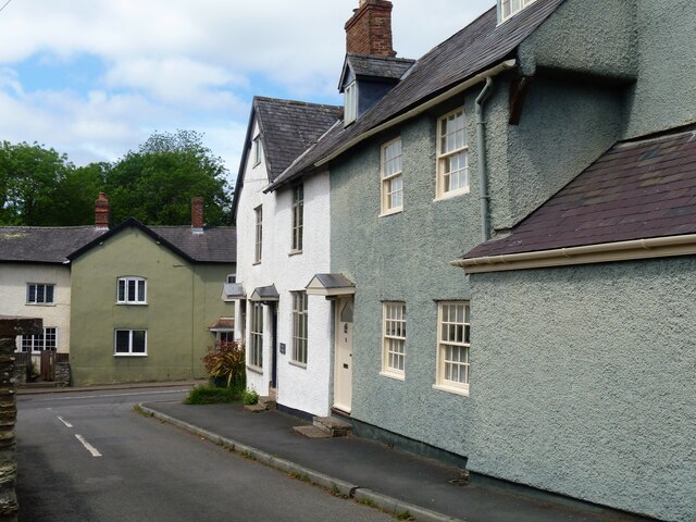
Leintwardine houses [14]
Introduction
The photograph on this page of Leintwardine houses [14] by Michael Dibb as part of the Geograph project.
The Geograph project started in 2005 with the aim of publishing, organising and preserving representative images for every square kilometre of Great Britain, Ireland and the Isle of Man.
There are currently over 7.5m images from over 14,400 individuals and you can help contribute to the project by visiting https://www.geograph.org.uk

Image: © Michael Dibb Taken: 3 Jun 2021
Numbers 1 and 3 Church Street was originally one house, now two. Number 1 was used as a shop. Built in, probably, the 17th century with later alterations. Timber framed with some rubble stone, all now roughcast rendered, with a Welsh slate roof. Some early internal features and fittings remain. Listed, grade II, with details at: https://historicengland.org.uk/listing/the-list/list-entry/1082076 The village of Leintwardine is in the far north of Herefordshire, close to the border with Shropshire, some 7 miles east of Ludlow and 7½ miles west of Knighton. The village was founded as a Roman station (Bravonium), with a mansio and baths, on the road between Kenchester (Magnis) and Wroxeter (Uriconium). The Rivers Clun and Teme have their confluence near the village.

