Bridleway at Newsam Green
Introduction
The photograph on this page of Bridleway at Newsam Green by Humphrey Bolton as part of the Geograph project.
The Geograph project started in 2005 with the aim of publishing, organising and preserving representative images for every square kilometre of Great Britain, Ireland and the Isle of Man.

There are currently over 7.5m images from over 14,400 individuals and you can help contribute to the project by visiting https://www.geograph.org.uk
Bridleway at Newsam Green
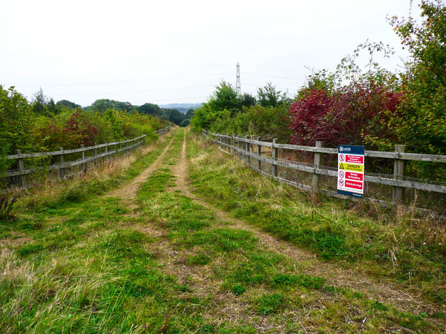
Image: © Humphrey Bolton Taken: 9 Oct 2021
This is a new bridleway running southwards from the new bridleway from The Avenue to Bullerthorpe Lane. The danger sign suggests that there might be methane gas from landfill or reinstated mine workings.
Images are licensed for reuse under creativecommons.org/licenses/by-sa/2.0
Image Location


Leaflet Map data © OpenStreetMap
Latitude
53.769525
Longitude
-1.437704