Disused farm cottage on Island Road
Introduction
The photograph on this page of Disused farm cottage on Island Road by Eric Jones as part of the Geograph project.
The Geograph project started in 2005 with the aim of publishing, organising and preserving representative images for every square kilometre of Great Britain, Ireland and the Isle of Man.

There are currently over 7.5m images from over 14,400 individuals and you can help contribute to the project by visiting https://www.geograph.org.uk
Disused farm cottage on Island Road
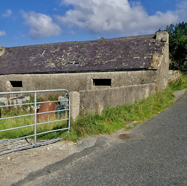
Image: © Eric Jones Taken: 25 Aug 2021
During the second half of the 20thC many of the smaller, less economocally viable, farming units in the Mourne Foreland, were amalgamated with the abandoned farmhouses and cottages being converted to storage use and their yards to sheep folds.
Images are licensed for reuse under creativecommons.org/licenses/by-sa/2.0
Image Location
Latitude
54.118263
Longitude
-6.050849