Leeds ring road approaching Roundhay Park Lane
Introduction
The photograph on this page of Leeds ring road approaching Roundhay Park Lane by Stephen Craven as part of the Geograph project.
The Geograph project started in 2005 with the aim of publishing, organising and preserving representative images for every square kilometre of Great Britain, Ireland and the Isle of Man.

There are currently over 7.5m images from over 14,400 individuals and you can help contribute to the project by visiting https://www.geograph.org.uk
Leeds ring road approaching Roundhay Park Lane
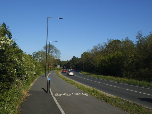
Image: © Stephen Craven Taken: 30 May 2021
The cycle track was added in 2020.
Images are licensed for reuse under creativecommons.org/licenses/by-sa/2.0
Image Location
Latitude
53.849361
Longitude
-1.503974