Aberystwyth Station
Introduction
The photograph on this page of Aberystwyth Station by Bill Harrison as part of the Geograph project.
The Geograph project started in 2005 with the aim of publishing, organising and preserving representative images for every square kilometre of Great Britain, Ireland and the Isle of Man.

There are currently over 7.5m images from over 14,400 individuals and you can help contribute to the project by visiting https://www.geograph.org.uk
Aberystwyth Station
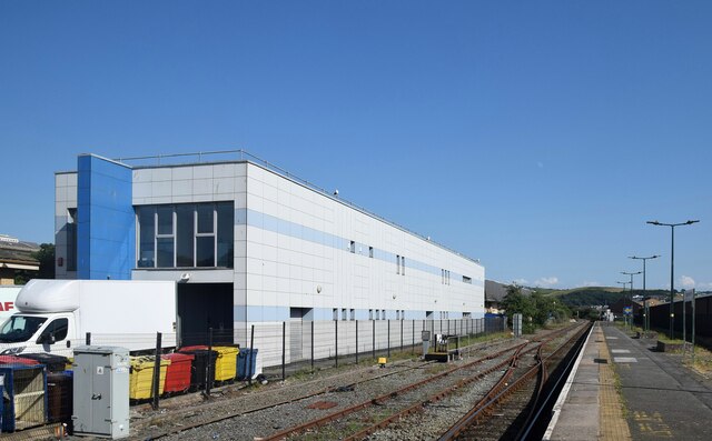
Image: © Bill Harrison Taken: 18 Jul 2021
The station once boasted several platforms and extensive sidings but has been reduced to a single platform. At least it's still open.
Images are licensed for reuse under creativecommons.org/licenses/by-sa/2.0
Image Location
Latitude
52.412729
Longitude
-4.07992