Foleshill Road
Introduction
The photograph on this page of Foleshill Road by Ian Capper as part of the Geograph project.
The Geograph project started in 2005 with the aim of publishing, organising and preserving representative images for every square kilometre of Great Britain, Ireland and the Isle of Man.

There are currently over 7.5m images from over 14,400 individuals and you can help contribute to the project by visiting https://www.geograph.org.uk
Foleshill Road
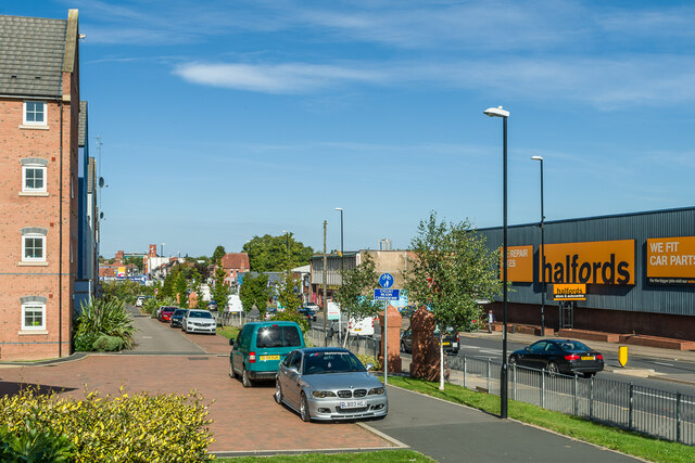
Image: © Ian Capper Taken: 23 Sep 2021
Looking alongside Foleshill Road. On the left is part of Navigation House, completed in 2015 as part of the redevelopment of a former Coventry Council site. In the far distance is Tower Court, an early 20th Century former Cortaulds factory, converted into offices c.2000.
Images are licensed for reuse under creativecommons.org/licenses/by-sa/2.0
Image Location
Latitude
52.416267
Longitude
-1.509335