Belle Vue Avenue, Lynton
Introduction
The photograph on this page of Belle Vue Avenue, Lynton by Martin Tester as part of the Geograph project.
The Geograph project started in 2005 with the aim of publishing, organising and preserving representative images for every square kilometre of Great Britain, Ireland and the Isle of Man.

There are currently over 7.5m images from over 14,400 individuals and you can help contribute to the project by visiting https://www.geograph.org.uk
Belle Vue Avenue, Lynton
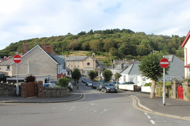
Image: © Martin Tester Taken: 26 Sep 2021
Belle Vue Avenue, seen from its junction with Lydiate Lane. At its far end, on Lee Road, is the Roman Catholic Church of the Most Holy Saviour &, to its left, the Convent of Poor Clares.
Images are licensed for reuse under creativecommons.org/licenses/by-sa/2.0
Image Location
Latitude
51.228596
Longitude
-3.83944