Houses descending the east side of the Sherbourne valley
Introduction
The photograph on this page of Houses descending the east side of the Sherbourne valley by Christine Johnstone as part of the Geograph project.
The Geograph project started in 2005 with the aim of publishing, organising and preserving representative images for every square kilometre of Great Britain, Ireland and the Isle of Man.

There are currently over 7.5m images from over 14,400 individuals and you can help contribute to the project by visiting https://www.geograph.org.uk
Houses descending the east side of the Sherbourne valley
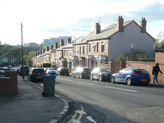
Image: © Christine Johnstone Taken: 24 Sep 2021
Humber Avenue, Coventry. The houses were built between 1903 and 1912.
Images are licensed for reuse under creativecommons.org/licenses/by-sa/2.0
Image Location
Latitude
52.402981
Longitude
-1.494622