Abutments from disused railway near Amisfield
Introduction
The photograph on this page of Abutments from disused railway near Amisfield by Russel Wills as part of the Geograph project.
The Geograph project started in 2005 with the aim of publishing, organising and preserving representative images for every square kilometre of Great Britain, Ireland and the Isle of Man.

There are currently over 7.5m images from over 14,400 individuals and you can help contribute to the project by visiting https://www.geograph.org.uk
Abutments from disused railway near Amisfield
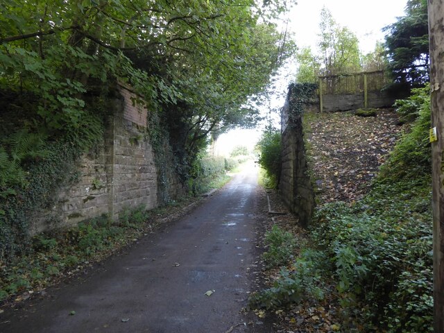
Image: © Russel Wills Taken: 29 Sep 2021
Amisfield railway station was a station which served Amisfield, in the Scottish county of Dumfries and Galloway. It was served by trains on a local line which ran between the Caledonian Main Line (now known as the West Coast Main Line) at Lockerbie and the Castle Douglas and Dumfries Railway at Dumfries.
Images are licensed for reuse under creativecommons.org/licenses/by-sa/2.0
Image Location
Latitude
55.129778
Longitude
-3.571777