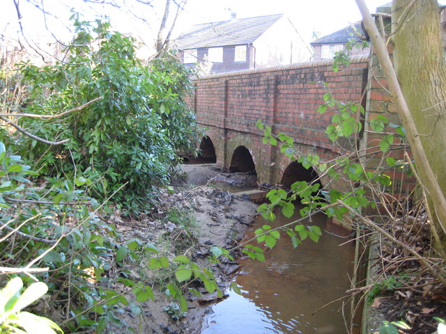
Fox Corner: Bullswater Bridge
Introduction
The photograph on this page of Fox Corner: Bullswater Bridge by Nigel Cox as part of the Geograph project.
The Geograph project started in 2005 with the aim of publishing, organising and preserving representative images for every square kilometre of Great Britain, Ireland and the Isle of Man.
There are currently over 7.5m images from over 14,400 individuals and you can help contribute to the project by visiting https://www.geograph.org.uk

Image: © Nigel Cox Taken: 17 Feb 2008
According to the stone tablet in its parapet Bullswater Bridge was built in 1923 by Guildford Rural District Council to carry the B380 Guildford Road over Hodge Brook. This brook drains eastwards from Bullswater Common and is a tributary of Stanford Brook. Further information provided by landowner: The two streams are kept separate on the north side of the bridge by the brick built design itself. Therefore it is not a confluence at this point. The bridge design has the middle arch for an overflow channel as necessary. There was evidence of silt build up at the time the photograph was taken because there had been a massive village flood a year earlier and the land was still recovering. The silt visible on the photo bears no reflection on the normal situation pertaining to the years before and the years after.

