Hendon
Introduction
The photograph on this page of Hendon by Peter Trimming as part of the Geograph project.
The Geograph project started in 2005 with the aim of publishing, organising and preserving representative images for every square kilometre of Great Britain, Ireland and the Isle of Man.

There are currently over 7.5m images from over 14,400 individuals and you can help contribute to the project by visiting https://www.geograph.org.uk
Hendon
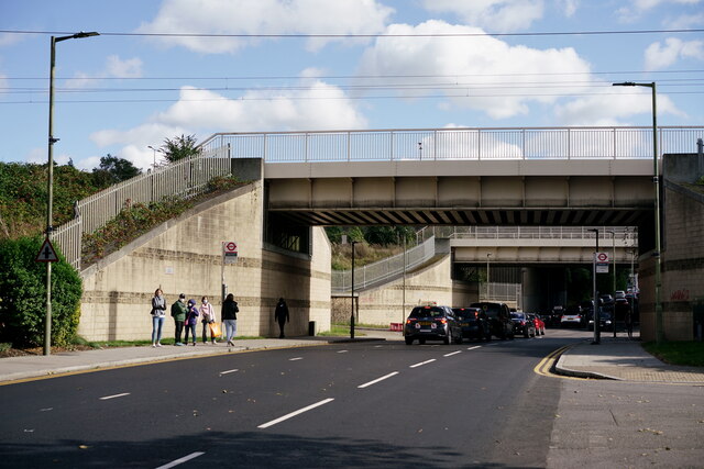
Image: © Peter Trimming Taken: 3 Oct 2021
Aerodrome Road. Two railway bridges, with the M1 motorway bridge in the distance.
Images are licensed for reuse under creativecommons.org/licenses/by-sa/2.0
Image Location
Latitude
51.593442
Longitude
-0.237146