Hillfort track
Introduction
The photograph on this page of Hillfort track by Alan Hughes as part of the Geograph project.
The Geograph project started in 2005 with the aim of publishing, organising and preserving representative images for every square kilometre of Great Britain, Ireland and the Isle of Man.

There are currently over 7.5m images from over 14,400 individuals and you can help contribute to the project by visiting https://www.geograph.org.uk
Hillfort track
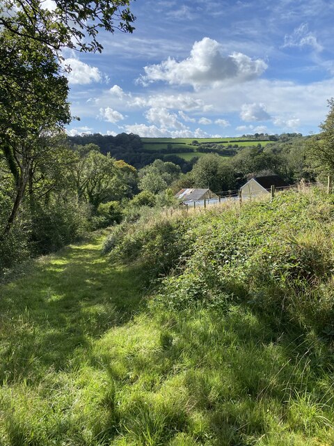
Image: © Alan Hughes Taken: 29 Sep 2021
The track runs downhill from the hillfort, past Pen y Gaer Farm and down to the bridge over the stream where there used to be a ford. One can only speculate whether the track is contemporary with the hillfort or is more recent and relates to the farm.
Images are licensed for reuse under creativecommons.org/licenses/by-sa/2.0
Image Location


Leaflet Map data © OpenStreetMap
Latitude
51.882054
Longitude
-4.390692