West along the A472, Monkswood
Introduction
The photograph on this page of West along the A472, Monkswood by Jaggery as part of the Geograph project.
The Geograph project started in 2005 with the aim of publishing, organising and preserving representative images for every square kilometre of Great Britain, Ireland and the Isle of Man.

There are currently over 7.5m images from over 14,400 individuals and you can help contribute to the project by visiting https://www.geograph.org.uk
West along the A472, Monkswood
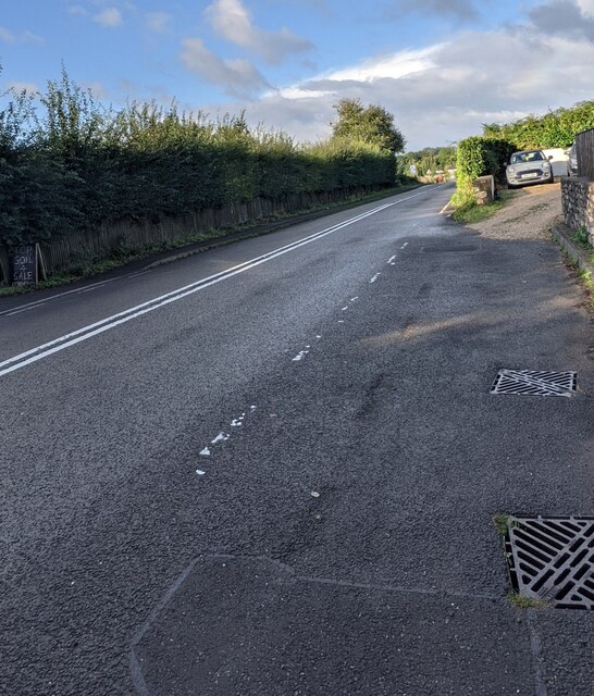
Image: © Jaggery Taken: 3 Oct 2021
Ahead for Little Mill. The double white lines indicate no overtaking.
Images are licensed for reuse under creativecommons.org/licenses/by-sa/2.0
Image Location
Latitude
51.718831
Longitude
-2.948692