Signpost at crossroads in Penpedairheol, Monmouthshire
Introduction
The photograph on this page of Signpost at crossroads in Penpedairheol, Monmouthshire by Jaggery as part of the Geograph project.
The Geograph project started in 2005 with the aim of publishing, organising and preserving representative images for every square kilometre of Great Britain, Ireland and the Isle of Man.

There are currently over 7.5m images from over 14,400 individuals and you can help contribute to the project by visiting https://www.geograph.org.uk
Signpost at crossroads in Penpedairheol, Monmouthshire
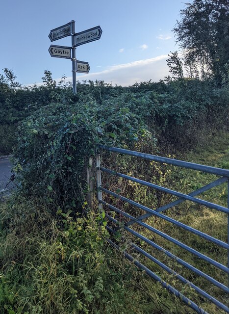
Image: © Jaggery Taken: 3 Oct 2021
Opposite the junctions of Rumble Street, Plough Road, Llan Lane and Cefn Mawr Lane. Destinations shown are Goytre, Chainbridge, Monkswood, Usk.
Images are licensed for reuse under creativecommons.org/licenses/by-sa/2.0
Image Location
Latitude
51.72833
Longitude
-2.96366