A6120 Ring Road towards Dawsons Corner
Introduction
The photograph on this page of A6120 Ring Road towards Dawsons Corner by David Goodall as part of the Geograph project.
The Geograph project started in 2005 with the aim of publishing, organising and preserving representative images for every square kilometre of Great Britain, Ireland and the Isle of Man.

There are currently over 7.5m images from over 14,400 individuals and you can help contribute to the project by visiting https://www.geograph.org.uk
A6120 Ring Road towards Dawsons Corner
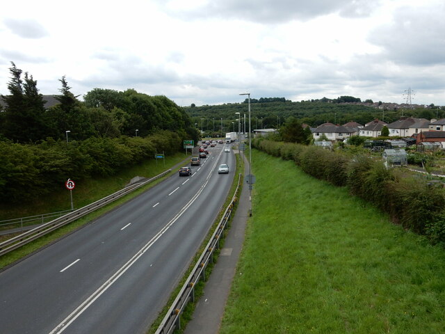
Image: © David Goodall Taken: 13 Jul 2019
The view from the pedestrian foot bridge outside Priesthorpe High School looking down the A6120 Ring Road towards Dawsons Corner Roundabout in Leeds. Photograph taken on 13/07/2019.
Images are licensed for reuse under creativecommons.org/licenses/by-sa/2.0
Image Location


Leaflet Map data © OpenStreetMap
Latitude
53.805929
Longitude
-1.68397