Pen y Gaer hillfort
Introduction
The photograph on this page of Pen y Gaer hillfort by Alan Hughes as part of the Geograph project.
The Geograph project started in 2005 with the aim of publishing, organising and preserving representative images for every square kilometre of Great Britain, Ireland and the Isle of Man.

There are currently over 7.5m images from over 14,400 individuals and you can help contribute to the project by visiting https://www.geograph.org.uk
Pen y Gaer hillfort
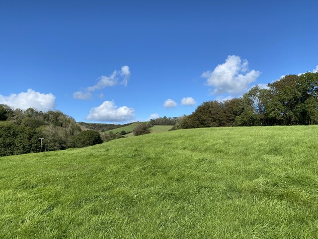
Image: © Alan Hughes Taken: 29 Sep 2021
Iron Age hillfort perhaps dating to the period of the Roman invasion of Wales. It is well protected to the north and east by a steeply wooded hillside. This view shows the embankment, hillfort plateau and part of the woodland to the north of the site. https://ancientmonuments.uk/130956-pen-y-gaer-hillfort-abernant#.YVnH0y14WhB
Images are licensed for reuse under creativecommons.org/licenses/by-sa/2.0
Image Location


Leaflet Map data © OpenStreetMap
Latitude
51.882413
Longitude
-4.390711