View towards converted farm buildings at Moat Grove
Introduction
The photograph on this page of View towards converted farm buildings at Moat Grove by Simon Mortimer as part of the Geograph project.
The Geograph project started in 2005 with the aim of publishing, organising and preserving representative images for every square kilometre of Great Britain, Ireland and the Isle of Man.

There are currently over 7.5m images from over 14,400 individuals and you can help contribute to the project by visiting https://www.geograph.org.uk
View towards converted farm buildings at Moat Grove
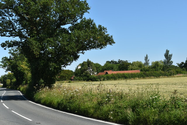
Image: © Simon Mortimer Taken: 16 Jul 2021
The buildings of the former farmyard at Moat Grove have been converted to a number of dwellings. View looking east from the A1120 near Willow Farm.
Images are licensed for reuse under creativecommons.org/licenses/by-sa/2.0
Image Location
Latitude
52.190349
Longitude
1.161455