Wall End with Benchmark, Hilborough
Introduction
The photograph on this page of Wall End with Benchmark, Hilborough by Paul Collins as part of the Geograph project.
The Geograph project started in 2005 with the aim of publishing, organising and preserving representative images for every square kilometre of Great Britain, Ireland and the Isle of Man.

There are currently over 7.5m images from over 14,400 individuals and you can help contribute to the project by visiting https://www.geograph.org.uk
Wall End with Benchmark, Hilborough
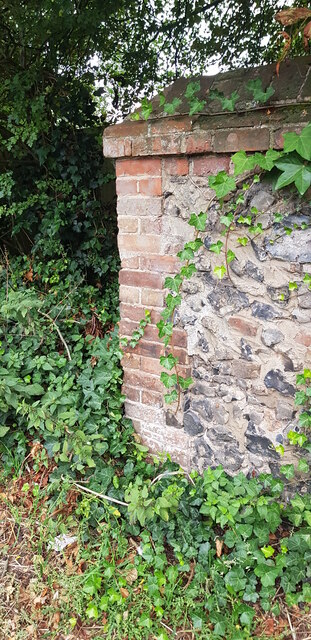
Image: © Paul Collins Taken: 26 Sep 2021
There is a cut benchmark in the brickwork at the end of the wall, north side of Swaffham Road. It is shown on the 1905 OS map at 85.3 feet above mean sea level.
Images are licensed for reuse under creativecommons.org/licenses/by-sa/2.0
Image Location
Latitude
52.571219
Longitude
0.692874