Stile beside the burn
Introduction
The photograph on this page of Stile beside the burn by Robert Graham as part of the Geograph project.
The Geograph project started in 2005 with the aim of publishing, organising and preserving representative images for every square kilometre of Great Britain, Ireland and the Isle of Man.

There are currently over 7.5m images from over 14,400 individuals and you can help contribute to the project by visiting https://www.geograph.org.uk
Stile beside the burn
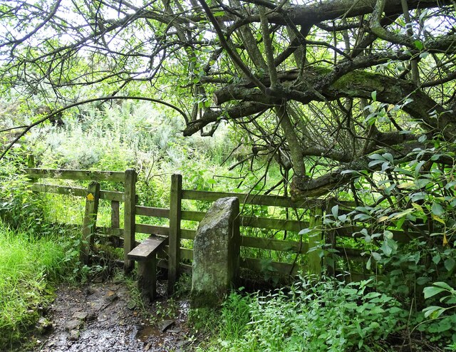
Image: © Robert Graham Taken: 23 Aug 2021
This is at the end of a field path leading across from Healeyfield Lane to Church Street in Castleside. Watergate Burn is just to the right. From the old stone post, there must have been a gate opening here at one time.
Images are licensed for reuse under creativecommons.org/licenses/by-sa/2.0
Image Location
Latitude
54.829836
Longitude
-1.881508