Waldon valley
Introduction
The photograph on this page of Waldon valley by Derek Harper as part of the Geograph project.
The Geograph project started in 2005 with the aim of publishing, organising and preserving representative images for every square kilometre of Great Britain, Ireland and the Isle of Man.

There are currently over 7.5m images from over 14,400 individuals and you can help contribute to the project by visiting https://www.geograph.org.uk
Waldon valley
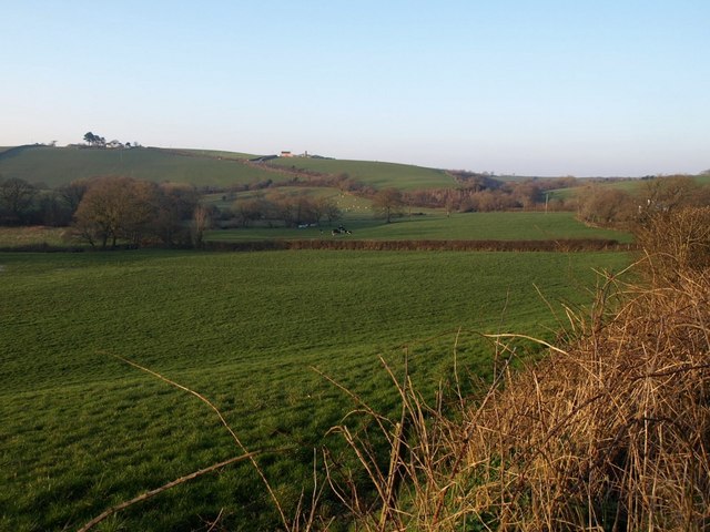
Image: © Derek Harper Taken: 16 Feb 2008
A wide angle view of the scene in Image, taken from the same spot (the lane between Image and Croydene Cottage, which can be glimpsed through trees on the right, and also features in Image).
Images are licensed for reuse under creativecommons.org/licenses/by-sa/2.0
Image Location
Latitude
50.863765
Longitude
-4.27212