On Seymour Street
Introduction
The photograph on this page of On Seymour Street by John Sutton as part of the Geograph project.
The Geograph project started in 2005 with the aim of publishing, organising and preserving representative images for every square kilometre of Great Britain, Ireland and the Isle of Man.

There are currently over 7.5m images from over 14,400 individuals and you can help contribute to the project by visiting https://www.geograph.org.uk
On Seymour Street
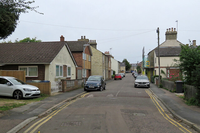
Image: © John Sutton Taken: 2 Oct 2021
Seymour Street has nineteenth-, twentieth- and twenty-first-century houses and runs from Brookfields to Vinery Road (ahead).
Images are licensed for reuse under creativecommons.org/licenses/by-sa/2.0
Image Location


Leaflet Map data © OpenStreetMap
Latitude
52.198401
Longitude
0.153688